File:Germany map.png
Jump to navigation
Jump to search
No higher resolution available.
Germany_map.png (713 × 600 pixels, file size: 142 KB, MIME type: image/png)
Source / Author:
This image is from Wikimedia Commons User NuclearVacuum
Licensing:
There is a license for this image.
The Creative Commons license: CC BY-SA 3.0
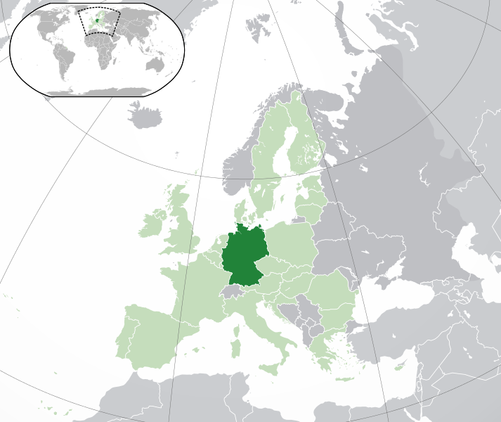
Description:
The image is a map of Europe.
The countires of the European Union are in the color light green.
The Countries of Europe are in the color grey.
All other countires are in the color light grey.
File history
Click on a date/time to view the file as it appeared at that time.
| Date/Time | Thumbnail | Dimensions | User | Comment | |
|---|---|---|---|---|---|
| current | 12:33, 2 September 2014 | | 713 × 600 (142 KB) | Anansi (talk | contribs) | '''Source / Author:''' This image is from [http://commons.wikimedia.org/wiki/User:NuclearVacuum Wikimedia Commons User NuclearVacuum] '''Licensing:''' There is a license for this image. The Creative Commons license: [http://creativecommons.org/lic... |
You cannot overwrite this file.
File usage
The following page uses this file: